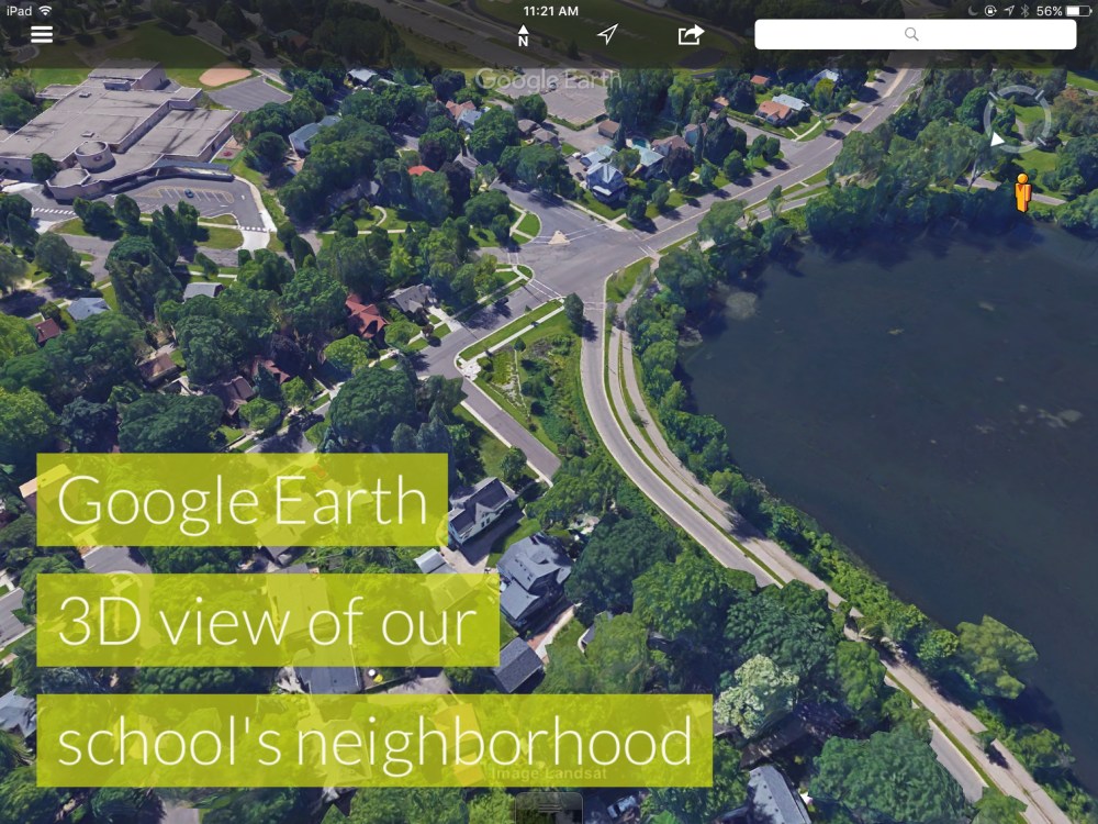
This spring I introduced newcomers in grades 3-5 to the Google Earth app. They were instantly enthralled. We began exploring the app with a simple search for our school. Found it, flew around it, found the neighboring lake, streets and businesses. Using the street view feature they walked around the school grounds, seeing all the familiar places, from a whole new digital perspective.
Next, individuals searched for their own homes. Most didn’t know their full address (being new to the country or having moved many times in a short while) so I provide each student a print-out of their address. They absolutely loved showing each other (and me) where they live! And where there friends live, the park where they play soccer, where grandma lives down the street, and more. Some students searched for places in their home countries. One boy showed me the farm town he had just moved from in El Salvador.
After they fully explored the app, we zoomed back to our school and took a screen shot of the aerial view. Then in a whole group, we generated a list of things found outside around the school: playground, slide, parking lot, soccer field, bench, hopscotch, etc. (I made the list on Educreations, took a screen shot, then airdropped it to each student.) We then headed outside to snap photos of each object or place on our list. A perfect excuse for enjoying warm spring weather and getting wiggles out!

The next day, I introduced ThingLink, a free app that enables students to easily create interactive images by adding photos, links and simple text to a background image. They first select an image, then “tag” a spot on the image to add interactive elements explaining more about that spot. To get started, teachers need to create a ThingLink account, add students, then print customized login information for each student. Students sign in on individual iPads to start their projects. Teachers can view and share final work from their account on any device with a web browser.


We completed our app-smashing project in ThingLink by selecting the aerial view of our school (created with Google Earth) and tagging it with the photos we took outside then adding captions using simple patterned sentences, incorporating vocabulary to match each object. For example, “This is the merry-go-round.” Check out a final interactive project here.

